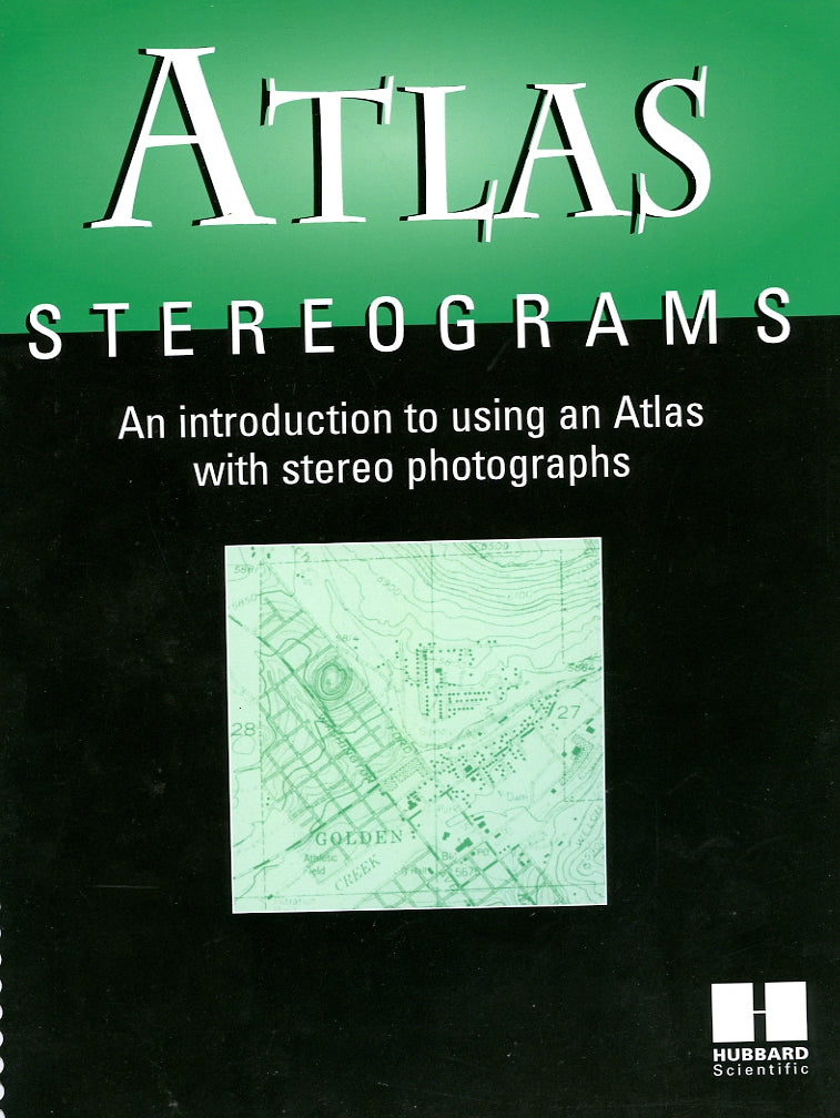
Stereo Atlas (Earth Sci. Curriculum Proj.). 50 pages, a pictorial work with very limited text, contains 50 plates, most of which use a combination of U.S. Geological Survey black & white stereo air photos, oblique air photos, and topographic maps to show terrain and landform features. The Stereo Atlas is designed to give students a comprehensive understanding of Earth Science from a visual perspective, with easy to read captions and diagrams that supplement the images.
Hubbard Stereo Atlas
Hubbard Stereo Atlas
Precio habitual
$14.95 USD
Precio habitual
Precio de oferta
$14.95 USD
Precio unitario
/
por
Los gastos de envío se calculan en la pantalla de pago.
No se pudo cargar la disponibilidad de retiro
Share
SKU:SKU: 694
Ver todos los detalles

